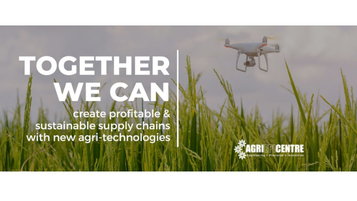
The use of drone technology in precision agriculture has gained popularity in recent years, however, there are still legislative barriers preventing widespread adoption, something with Agri-EPI and Connected Places Catapult in a recent webinar.
Drones can be used for surveying, mapping, crop monitoring and disease detection but advances in technology mean that autonomous crop pesticide applications could be a reality.
“Precision technology can tackle key agricultural challenges – using variable rate and precise application can reduce spray use and improve yields,” explained Hannah Tew, ecosystem director at Connected Places Catapult.
At present, the Sustainable Use Directive 14 forbids aerial spraying, including the use of drones although there is a derogation available through the Health and Safety Executive (HSE).
“We’re heading into the fourth agricultural revolution and things are changing rapidly, but chemicals will still be around for a while,” added Bryn Bircher, policy officer at HSE. “There is the issue of drift; we know there is a lot of drift with a boom sprayer but we don’t know the effect of drift from drones yet.”
“We’re heading into the fourth agricultural revolution and things are changing rapidly, but chemicals will still be around for a while,” added Bryn Bircher, policy officer at HSE.
“There is the issue of drift; we know there is a lot of drift with a boom sprayer but we don’t know the effect of drift from drones yet.”
And some drones do boast impressive time-saving. “A drone with a 20-litre tank can cover 15 hectares an hour,” explained Robert Pearson at Auto Spray Solutions.
It’s important to remember that drones are not replacing conventional systems. “People will only use the drone if it’s better for the job than the conventional way,” added Jack Wrangham at Drone Ag.
And it’s not just spraying which drones could be useful for, they could be used for mapping, applying solid fertiliser, seeds and slug pellets. “Farmers could get field reports in minutes, just from flying a drone across the field – close up imagery can be used for crop uniformity and accessing the severity of weed patches,” said Mr Wrangham.
“This could inform variable rate applications, so chemicals are only applied where necessary.”
Regulatory challenges aside, the HSE is working alongside the Civil Aviation Authority (CAA) to establish what can be done to make drone operations safe. “It is possible to apply for a permit, which will be unique to each business,” said Mr Bircher.
“We want to support new tech and I hope we can do so, with the existing legislation.”


