As landowners, estate managers and farm businesses begin the transition to post-Brexit, environmentally focused subsidies, Oxford-based Natural Capital (NatCap) Research Ltd has launched an online tool to identify and measure natural capital.
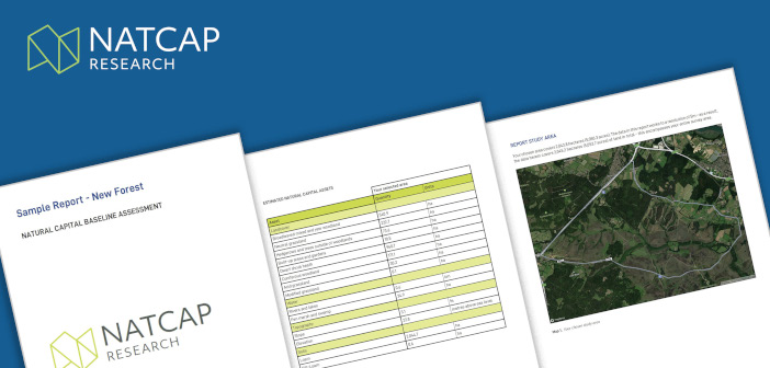
NatCapMap is a comprehensive environmental mapping tool to help users measure natural capital assets and report improvements over time. This can then be used as a basis for biodiversity and net-zero carbon strategies.
Key features of the tool are said to be:
- downloadable baseline reports of natural assets and ecosystem service flows, with options for opportunity mapping and valuation
- map coverage of any user-defined area in England, Scotland and Wales, to a 25m resolution
- report details including landcover; forest, trees and hedgerows; and topographical variations
- mapping of benefits from carbon storage and CO2 sequestration, including flood risk prevention and landscapes beneficial to biodiversity and pollination
Robust evidence for new subsidy frameworks
Professor Kathy Willis, founder and director at NatCap Research said: “Post-EU subsidy arrangements are still evolving across the UK, but it’s already clear that landowners, estates and farmers will need the highest-quality evidence of natural capital assets and ecosystem system flows to access public funding. NatCapMap provides such evidence for land across England, Scotland and Wales, providing a powerful environmental business planning tool for estates and farms of different sizes.”
Professor Sir Dieter Helm, founder and Chair of NatCap Research added that the private sector and other stakeholders will also want solid evidence of natural assets, as well as environmental baselines and enhancements. “With our reports providing accurate detail down to 25 metres, NatCapMap provides the credible evidence base that is needed for all these different audiences. And it then provides the credible starting point for initiating and monitoring environmental enhancements over time.”


