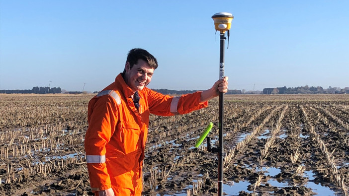
Visitors to the Lamma show will be able to see the role that precision technology can play in drainage operations are encouraged to go to Mastenbroek’s stand to see how the Trimble WM Survey II app can be used to develop plans.
The company has worked closely with Trimble for many years, and in 2010, the two firms developed a new GPS system for drainage trenches.
WM Survey II is a standalone app for conducting basic field surveys for use in developing drainage plans. It is compatible with any Android phone or tablet and the GFX-750 display. Users can connect their own GNSS receiver to create topographic maps.
When paired with a GNSS receiver the app can record elevation points across a field to generate a topographic map, which can be exported to drainage planning software.
“2021 appears to be the year in which interest in precision agriculture really took off,” said Fred Clark, technical sales engineer at Mastenbroek. “In order to develop an effective precision agriculture plan, adopting a low-till approach and minimising soil compaction is key. Both of these benefit from having well-drained land. The land will require less attention, so fewer vehicles will need to travel on it, and the soil will be of better quality compared to poorly drained land.
“The Trimble WM Survey II app allows users to map the topography of their land as well as gain an insight into areas that are less productive in terms of yield and crop quality. All of this information can be used by drainage contractors to create effective drainage plans.”
Mastenbroek will also introduce its GCS100, a retrofittable control unit that can control the depth and grade of trenching machines that are not fitted with GPS systems.
“The GCS100 is our entry-level solution for vehicles pulling scrapers, add on, or self-propelled drainage equipment requiring a PT valve connection, and we are very much looking forward to showcasing it at LAMMA 2022,” added Mr Clarke.


